Photo spot in Zillertal & Mayrhofen
The Schlegeis reservoir
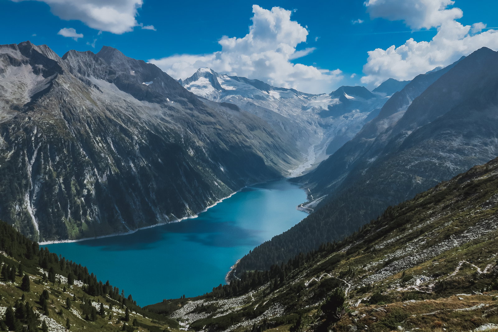
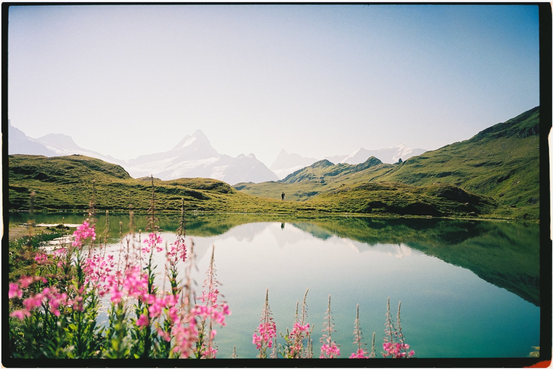
An unreal turquoise lake at 1,782 metres at the head of the Zamser Grund, held by a curved dam wall with the Hochfeiler and a line of glaciers behind it.
About The Schlegeis reservoir
Get directionsThe Schlegeisspeicher lies about thirty kilometres south of Mayrhofen at the very end of the Zamser Grund, and the colour is the reason people drive up: glacier meltwater turns it a hard turquoise that looks wrong in photographs and is entirely real. A curved concrete dam holds the northern end, and the water runs south towards the Hochfeiler and the glaciers on the Italian border.
The view most people know is not from the dam but from the path towards the Olpererhütte, which climbs the western slope from the car park in about an hour and a half and looks straight down the length of the lake. There is a suspension footbridge on that path that has become the standard frame; it is narrow, it moves, and it is very busy from mid-morning in summer.
The dam and the shoreline path need no climbing at all and still give the colour, the wall and the mountains. Morning is clearest — afternoon cloud on the glaciers is the rule rather than the exception.
The Schlegeis Alpenstraße above Ginzling is a toll road with narrow single-lane tunnels and it is seasonal, usually open from late May or June to October and closed and unploughed in winter. Buses run in season. Check the current opening, toll and bus times before you set out.
Best time to shoot
Morning for clear air over the glaciers; the road is open roughly late May or June to October only
Tips
Allow three hours return for the Olpererhütte path and start early — the suspension bridge queues from mid-morning in summer. The access road is tolled, has narrow tunnels and is shut all winter, so check before driving.
Recent work in Zillertal & Mayrhofen
Portfolio shots by photographers covering this area
Dani H.
View profile →
Dani H.
View profile →
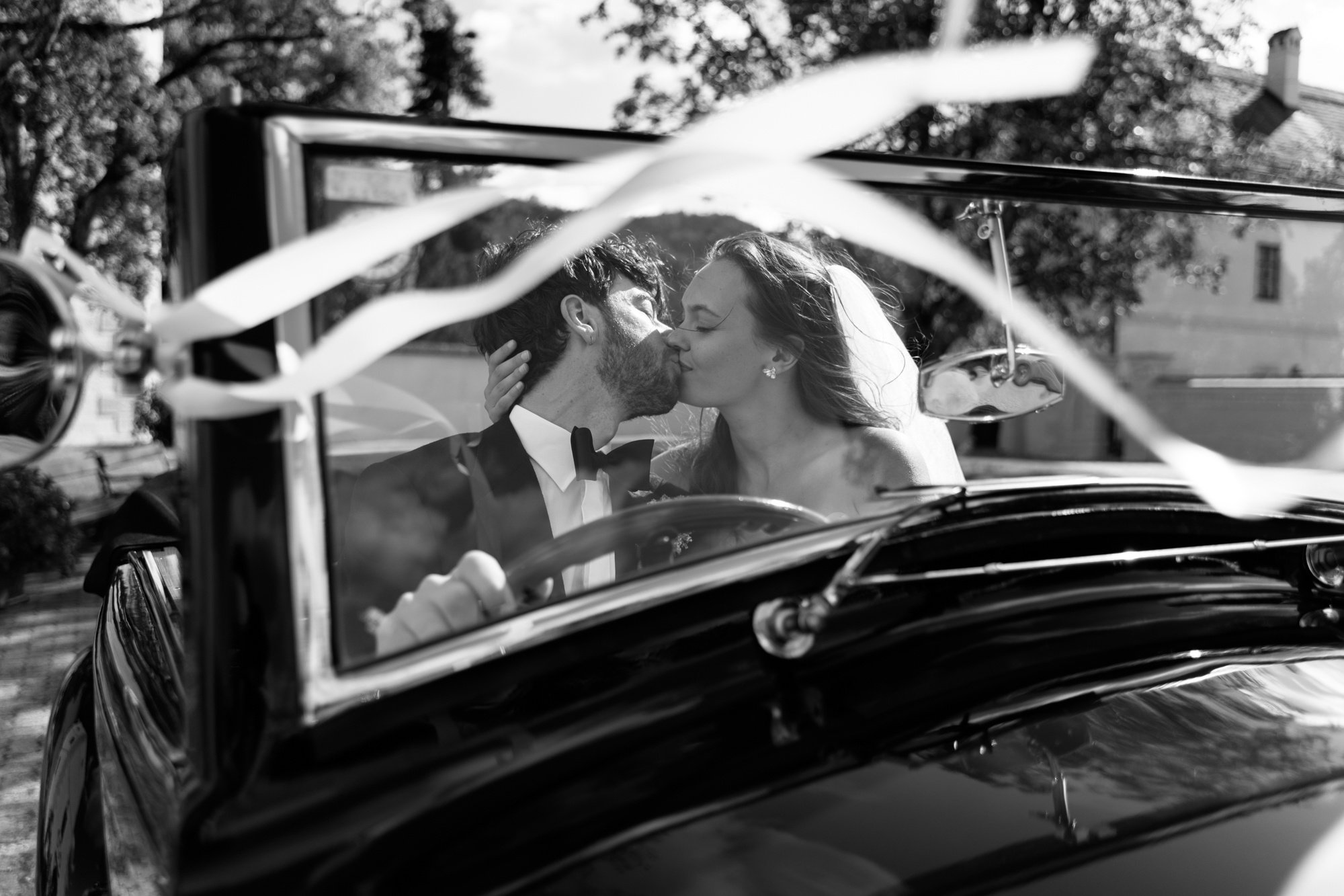
Dani H.
View profile →
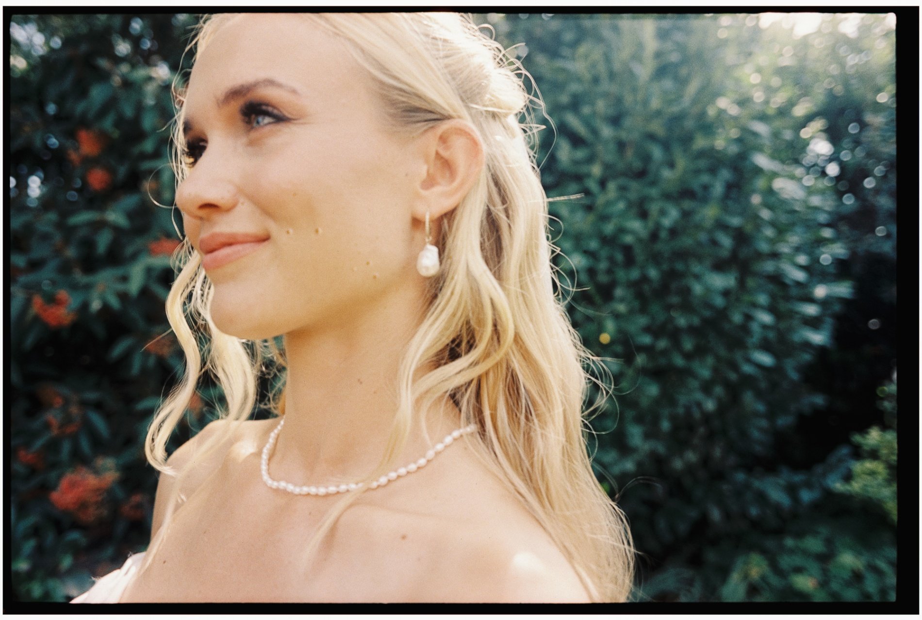
Dani H.
View profile →
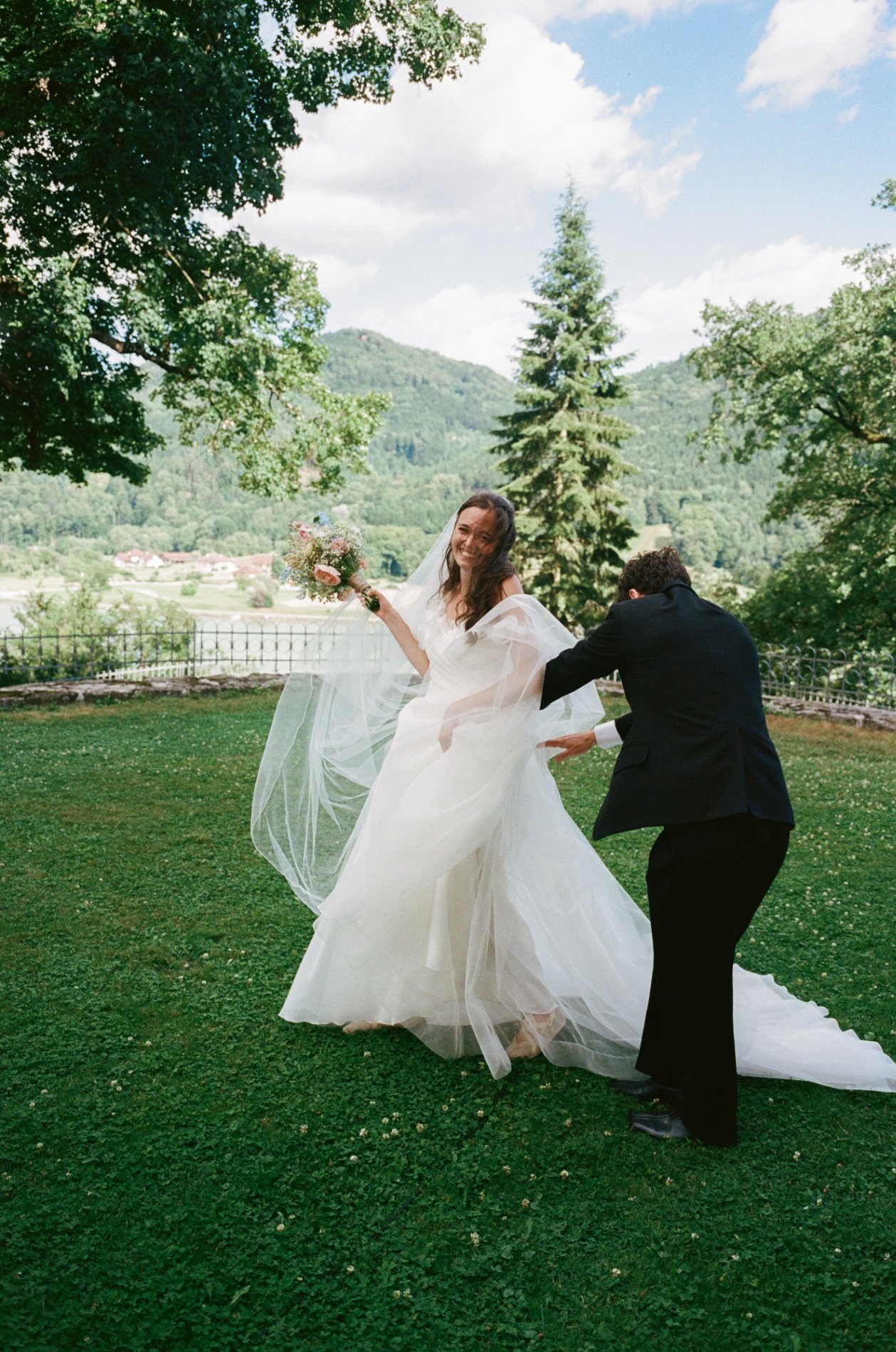
Dani H.
View profile →
Dani H.
View profile →
Dani H.
View profile →
Dani H.
View profile →
Dani H.
View profile →
Dani H.
View profile →
Dani H.
View profile →
Dani H.
View profile →
Dani H.
View profile →
Dani H.
View profile →
Dani H.
View profile →
Dani H.
View profile →
Dani H.
View profile →
Dani H.
View profile →
Dani H.
View profile →
Dani H.
View profile →
Dani H.
View profile →
Dani H.
View profile →
Dani H.
View profile →
Dani H.
View profile →
Dani H.
View profile →
Dani H.
View profile →
Dani H.
View profile →
Dani H.
View profile →
Dani H.
View profile →
Dani H.
View profile →
Dani H.
View profile →
Photographers who shoot at The Schlegeis reservoir
Hand-picked professionals working in Zillertal & Mayrhofen
Real reviews from Zillertal & Mayrhofen photoshoots
Mariella G.
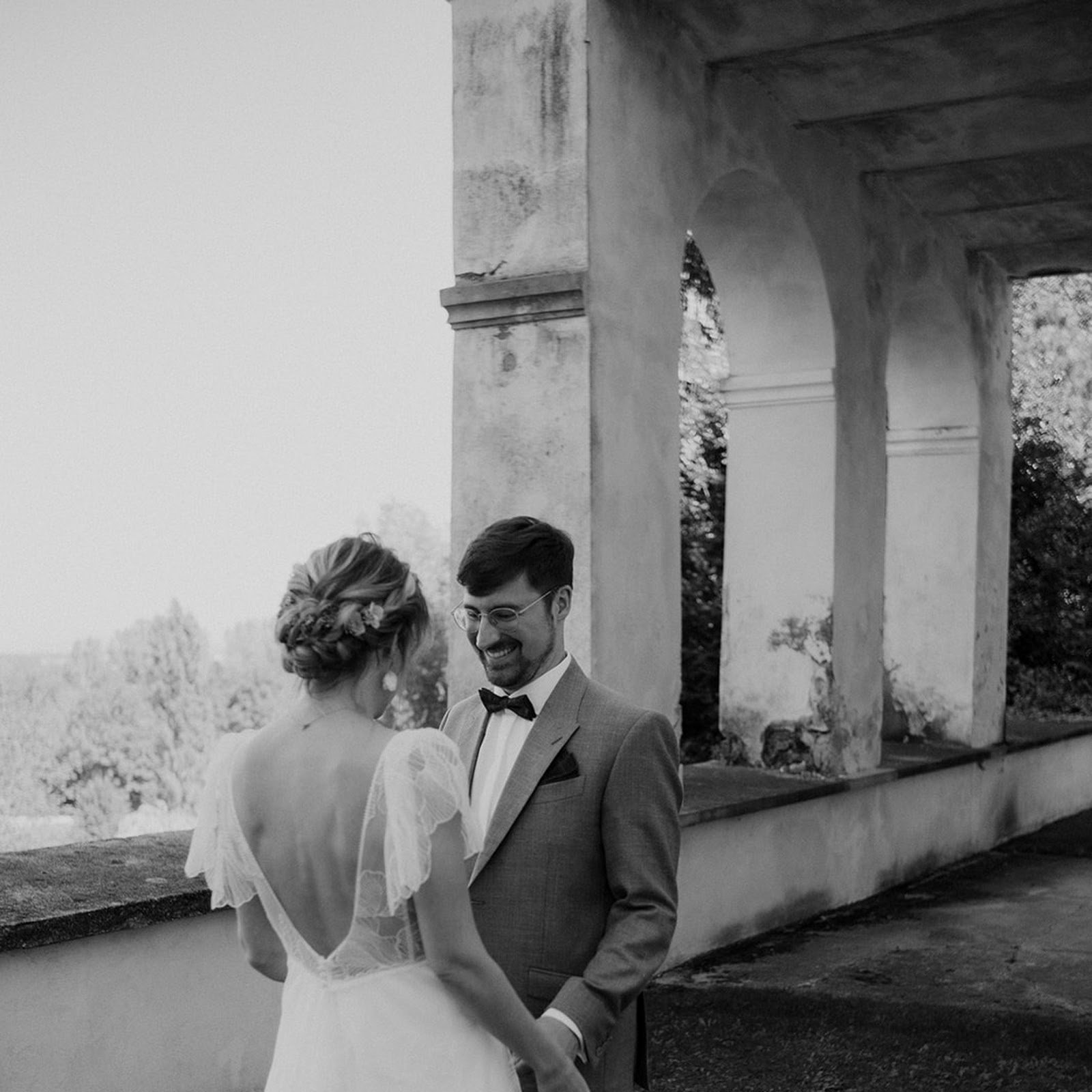
We were incredibly lucky to have Jewgenia as our wedding photographer in September, and we couldn't be happier! From our very first meeting, we knew she was the perfect fit for us and our celebration. Communication was so pleasant and…

Jewgenia B.
Photographer
Tanja K.
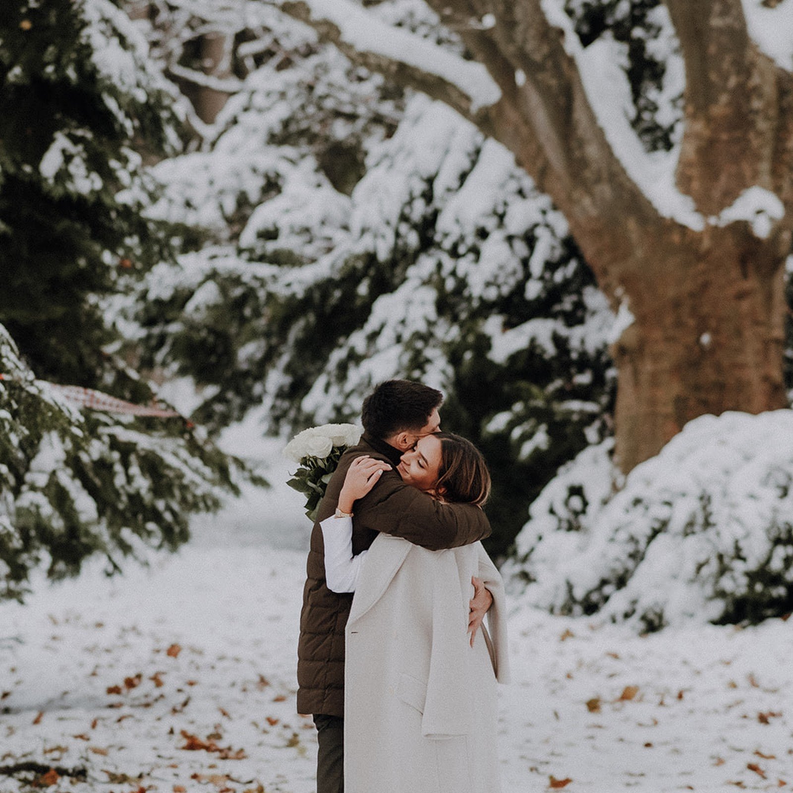
The lovely Jewgenia photographed our civil wedding ceremony, and we are absolutely thrilled with the results and the entire collaboration. We clicked with her right from our initial meeting and knew immediately that she was the perfect…
Jewgenia B.
Photographer
Marlene
For our wedding, nothing mattered more to us than capturing the special moments and emotions forever. So naturally we had pretty high expectations of our photographers and videographers – and finding them was probably one of the biggest…

Ian P.
Photographer
Other spots in Zillertal & Mayrhofen
Mayrhofen village and the Ziller
Painted inns and balconied houses along one long street, with the Ziller running clear through the middle and mountains closing both ends of the view.
The Hintertux glacier
The one place in Austria where the lifts run every day of the year — snow at 3,250 metres in August, ice caves inside the glacier, and a green valley below.
The Ahornbahn and the Ahorn plateau
Austria's largest cable car cabins lift straight out of Mayrhofen to a broad open shoulder at about 1,950 metres, with the Zillertal Alps facing you across the valley.
Ready to book?
Our concierge team will hand-pick 2-3 photographers who know The Schlegeis reservoir — free of charge.